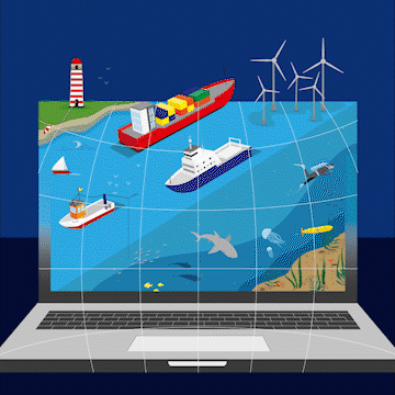
The European Atlas of the Seas is a publicly accessible web-based tool, providing interactive and diversified information in a comprehensive way to a broad public. It is composed of a collection of maps with reliable data on natural and socio-economic features in the coastal regions of Europe. The data come primarily from the European Commission and its agencies (i.e. Eurostat, EEA, …) and from the European Marine Observation and Data Network (EMODnet).
The Atlas offers an ocean of information in a user-friendly way about topics such as nature, tourism, security, energy, litter, coastal erosion, vessel density, passenger transport, sea bottom, sea level rise, fish consumption, and much, much more!
Use the Atlas to explore and compose your own maps! Select different layers, zoom in into your area of interest (e.g. a sea basin, a country…), measure distances and areas and export your customised map or print it for later use.
This wiki will be set up to provide teachers throughout the European Union, who want to use the European Atlas of the Seas in their lessons, a platform where they can find and share information, exercises and much more.
Have a look at the Teachers Corner here